Barley Meadows, East Cramlington
Introduction
The photograph on this page of Barley Meadows, East Cramlington by Graham Robson as part of the Geograph project.
The Geograph project started in 2005 with the aim of publishing, organising and preserving representative images for every square kilometre of Great Britain, Ireland and the Isle of Man.

There are currently over 7.5m images from over 14,400 individuals and you can help contribute to the project by visiting https://www.geograph.org.uk
Barley Meadows, East Cramlington
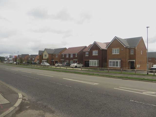
Image: © Graham Robson Taken: 19 Aug 2018
A new development by Miller Homes beside the B1326 in East Cramlington. Image shows the site a year and a half earlier. Construction was continuing on a later phase of the development away from the main road.
Images are licensed for reuse under creativecommons.org/licenses/by-sa/2.0
Image Location
Latitude
55.078119
Longitude
-1.563137