Countryside view from Stanley
Introduction
The photograph on this page of Countryside view from Stanley by Robert Graham as part of the Geograph project.
The Geograph project started in 2005 with the aim of publishing, organising and preserving representative images for every square kilometre of Great Britain, Ireland and the Isle of Man.

There are currently over 7.5m images from over 14,400 individuals and you can help contribute to the project by visiting https://www.geograph.org.uk
Countryside view from Stanley
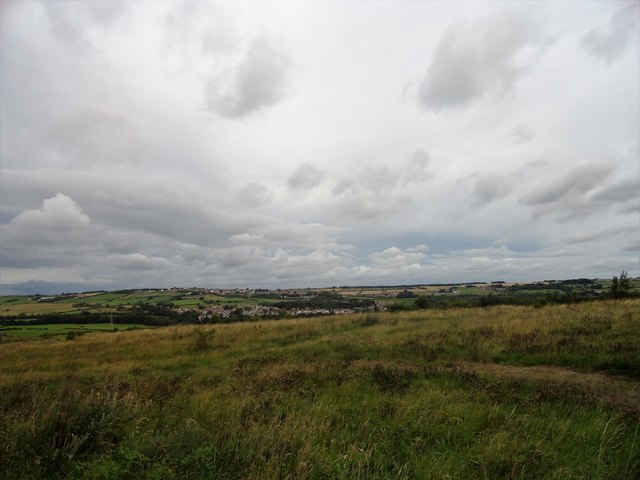
Image: © Robert Graham Taken: 17 Aug 2018
This viewpoint is just behind Front Street, on the north side. The towns hilltop position gives a good vantage point. In the distance can be seen the old mining villages of Tanfield Lea, and Tantobie and White le Head on the hilltop.
Images are licensed for reuse under creativecommons.org/licenses/by-sa/2.0
Image Location
Latitude
54.870867
Longitude
-1.702504