The road to Tolpuddle
Introduction
The photograph on this page of The road to Tolpuddle by Brian Robert Marshall as part of the Geograph project.
The Geograph project started in 2005 with the aim of publishing, organising and preserving representative images for every square kilometre of Great Britain, Ireland and the Isle of Man.

There are currently over 7.5m images from over 14,400 individuals and you can help contribute to the project by visiting https://www.geograph.org.uk
The road to Tolpuddle
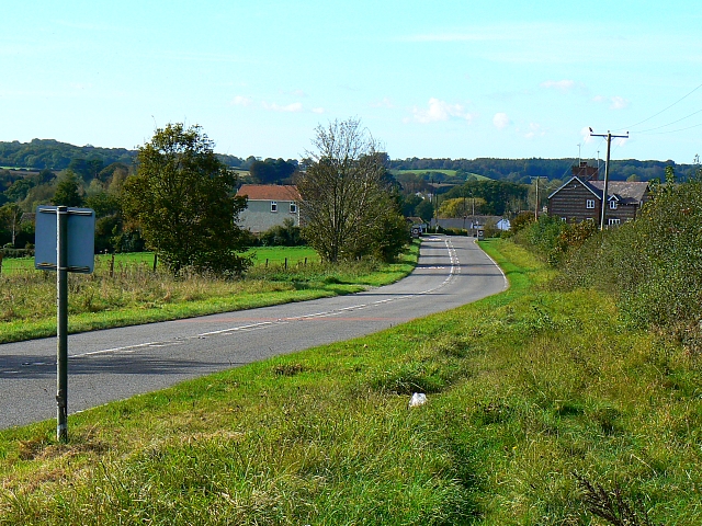
Image: © Brian Robert Marshall Taken: 18 Oct 2007
The majority of Tolpuddle is in the next square west but the property at the left with the two first floor windows is just inside this square. The road itself is called Dorchester Road.
Images are licensed for reuse under creativecommons.org/licenses/by-sa/2.0
Image Location
Latitude
50.748675
Longitude
-2.284427