A149, Sutton
Introduction
The photograph on this page of A149, Sutton by Robin Webster as part of the Geograph project.
The Geograph project started in 2005 with the aim of publishing, organising and preserving representative images for every square kilometre of Great Britain, Ireland and the Isle of Man.

There are currently over 7.5m images from over 14,400 individuals and you can help contribute to the project by visiting https://www.geograph.org.uk
A149, Sutton
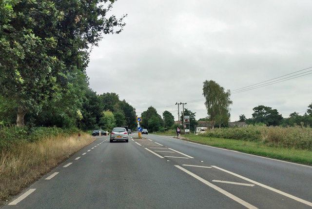
Image: © Robin Webster Taken: 14 Aug 2018
Heading towards Great Yarmouth. Here bypassing Sutton, following the course of the Midland and Great Northern Joint Railway, which closed here in 1959. The road to Sutton Staithe, which is to the right, crosses ahead.
Images are licensed for reuse under creativecommons.org/licenses/by-sa/2.0
Image Location
Latitude
52.758852
Longitude
1.530128