Trees and houses, Ridgeway, Lower Graig-y-rhacca
Introduction
The photograph on this page of Trees and houses, Ridgeway, Lower Graig-y-rhacca by Jaggery as part of the Geograph project.
The Geograph project started in 2005 with the aim of publishing, organising and preserving representative images for every square kilometre of Great Britain, Ireland and the Isle of Man.

There are currently over 7.5m images from over 14,400 individuals and you can help contribute to the project by visiting https://www.geograph.org.uk
Trees and houses, Ridgeway, Lower Graig-y-rhacca
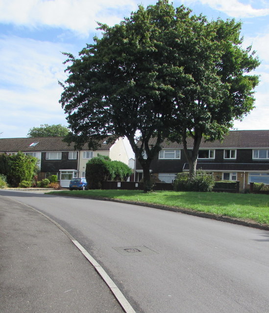
Image: © Jaggery Taken: 16 Aug 2018
Part of the road named Ridgeway which extends from the edge of Trethomas through Lower Graig-y-rhacca to the edge of Graig-y-rhacca.
Images are licensed for reuse under creativecommons.org/licenses/by-sa/2.0
Image Location
Latitude
51.591734
Longitude
-3.172682