Richmond Half Tide Lock
Introduction
The photograph on this page of Richmond Half Tide Lock by Mark Percy as part of the Geograph project.
The Geograph project started in 2005 with the aim of publishing, organising and preserving representative images for every square kilometre of Great Britain, Ireland and the Isle of Man.

There are currently over 7.5m images from over 14,400 individuals and you can help contribute to the project by visiting https://www.geograph.org.uk
Richmond Half Tide Lock
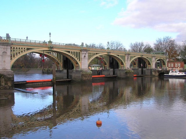
Image: © Mark Percy Taken: 4 Dec 2005
Richmond's Half Tide Lock opened in 1894. For two hours after the passage of the tide the sluice gates underneath are lowered to block the river. This maintains the water level at a height which enables navigation up to Teddington Lock three miles upstream. This provided navigable water all hours of the day and meant a yacht club, based on the reach, could be sustained
Images are licensed for reuse under creativecommons.org/licenses/by-sa/2.0
Image Location
Latitude
51.461013
Longitude
-0.318693