Outside the Thatched Tavern
Introduction
The photograph on this page of Outside the Thatched Tavern by Des Blenkinsopp as part of the Geograph project.
The Geograph project started in 2005 with the aim of publishing, organising and preserving representative images for every square kilometre of Great Britain, Ireland and the Isle of Man.

There are currently over 7.5m images from over 14,400 individuals and you can help contribute to the project by visiting https://www.geograph.org.uk
Outside the Thatched Tavern
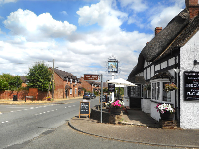
Image: © Des Blenkinsopp Taken: 24 Jul 2018
Looking along Honeybourne High Street outside the pub which dates from the 13th century, as the helpful tourist signpost about four metres from the wall points out.
Images are licensed for reuse under creativecommons.org/licenses/by-sa/2.0
Image Location
Latitude
52.092159
Longitude
-1.834143