Orangery, Holywells Park
Introduction
The photograph on this page of Orangery, Holywells Park by Keith Edkins as part of the Geograph project.
The Geograph project started in 2005 with the aim of publishing, organising and preserving representative images for every square kilometre of Great Britain, Ireland and the Isle of Man.

There are currently over 7.5m images from over 14,400 individuals and you can help contribute to the project by visiting https://www.geograph.org.uk
Orangery, Holywells Park
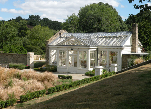
Image: © Keith Edkins Taken: 8 Aug 2018
Late 19th century building; grade II listed. The knot garden on the left is suffering badly from heat and drought.
Images are licensed for reuse under creativecommons.org/licenses/by-sa/2.0
Image Location
Latitude
52.045996
Longitude
1.171525