Park Road joins Skip Lane
Introduction
The photograph on this page of Park Road joins Skip Lane by Richard Law as part of the Geograph project.
The Geograph project started in 2005 with the aim of publishing, organising and preserving representative images for every square kilometre of Great Britain, Ireland and the Isle of Man.

There are currently over 7.5m images from over 14,400 individuals and you can help contribute to the project by visiting https://www.geograph.org.uk
Park Road joins Skip Lane
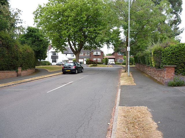
Image: © Richard Law Taken: 18 Jul 2018
An area that is mapped as scattered cottages and tree-lined lanes on the maps of the late 1930s. All built up now.
Images are licensed for reuse under creativecommons.org/licenses/by-sa/2.0
Image Location
Latitude
52.565055
Longitude
-1.940946