Trinity Street
Introduction
The photograph on this page of Trinity Street by Keith Edkins as part of the Geograph project.
The Geograph project started in 2005 with the aim of publishing, organising and preserving representative images for every square kilometre of Great Britain, Ireland and the Isle of Man.

There are currently over 7.5m images from over 14,400 individuals and you can help contribute to the project by visiting https://www.geograph.org.uk
Trinity Street
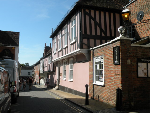
Image: © Keith Edkins Taken: 6 Aug 2018
C15 origin, L-shaped plan building with addition at south end. Considerably restored. Grade II listed.
Images are licensed for reuse under creativecommons.org/licenses/by-sa/2.0
Image Location
Latitude
51.888438
Longitude
0.899077