Big bales
Introduction
The photograph on this page of Big bales by Bob Harvey as part of the Geograph project.
The Geograph project started in 2005 with the aim of publishing, organising and preserving representative images for every square kilometre of Great Britain, Ireland and the Isle of Man.

There are currently over 7.5m images from over 14,400 individuals and you can help contribute to the project by visiting https://www.geograph.org.uk
Big bales
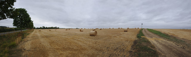
Image: © Bob Harvey Taken: 12 Aug 2018
This is just the left hand half of the Panorama at Image It has the country lane on the left, and the field track on the right, which are around 90 degrees apart.
Images are licensed for reuse under creativecommons.org/licenses/by-sa/2.0
Image Location
Latitude
52.882635
Longitude
-0.429933