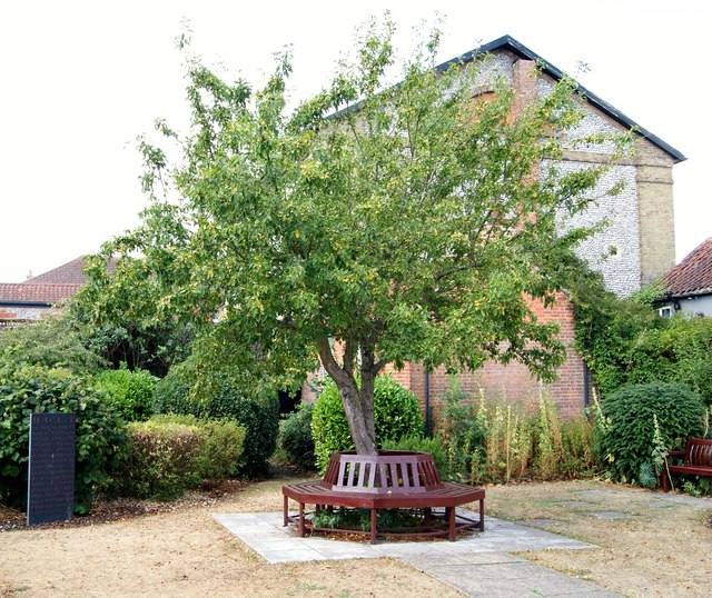
Albert Street, Holt, Norfolk
Introduction
The photograph on this page of Albert Street, Holt, Norfolk by David Hallam-Jones as part of the Geograph project.
The Geograph project started in 2005 with the aim of publishing, organising and preserving representative images for every square kilometre of Great Britain, Ireland and the Isle of Man.
There are currently over 7.5m images from over 14,400 individuals and you can help contribute to the project by visiting https://www.geograph.org.uk

Image: © David Hallam-Jones Taken: 10 Aug 2018
This was previously the burial ground of the former Wesleyan Methodist Church in New Street (visible to the rear). The church is currently a function venue and the burial ground has become "The Methodist Memorial Garden" since it was revamped and re-designated in 1992. The vertical stone slab is known as the Holt Domesday Slate. It was created by a Norfolk-based stonemason, Teucer Wilson, and it is inscribed with words from Holt's entry in the Domesday Book that was compiled for William the Conqueror in 1086. It includes reference to the existence of 11 ploughs belonging to local men, woodland for 60 pigs and six acres of meadow. Members of the Holt Society and other residents funded its purchase.

