Path on the former Nidd Valley Light Railway
Introduction
The photograph on this page of Path on the former Nidd Valley Light Railway by Mark Anderson as part of the Geograph project.
The Geograph project started in 2005 with the aim of publishing, organising and preserving representative images for every square kilometre of Great Britain, Ireland and the Isle of Man.

There are currently over 7.5m images from over 14,400 individuals and you can help contribute to the project by visiting https://www.geograph.org.uk
Path on the former Nidd Valley Light Railway
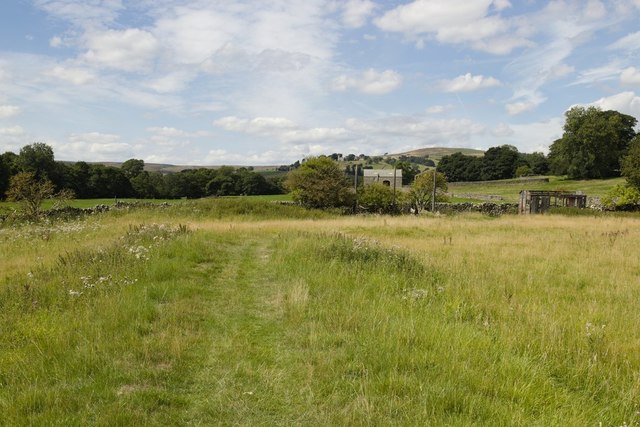
Image: © Mark Anderson Taken: 11 Aug 2018
A disused goods carriage can be seen to the right of the photograph.
Images are licensed for reuse under creativecommons.org/licenses/by-sa/2.0
Image Location


Leaflet Map data © OpenStreetMap
Latitude
54.150101
Longitude
-1.835685