Junction of Heol Iago and Coronation Crescent, Fochriw
Introduction
The photograph on this page of Junction of Heol Iago and Coronation Crescent, Fochriw by Jaggery as part of the Geograph project.
The Geograph project started in 2005 with the aim of publishing, organising and preserving representative images for every square kilometre of Great Britain, Ireland and the Isle of Man.

There are currently over 7.5m images from over 14,400 individuals and you can help contribute to the project by visiting https://www.geograph.org.uk
Junction of Heol Iago and Coronation Crescent, Fochriw
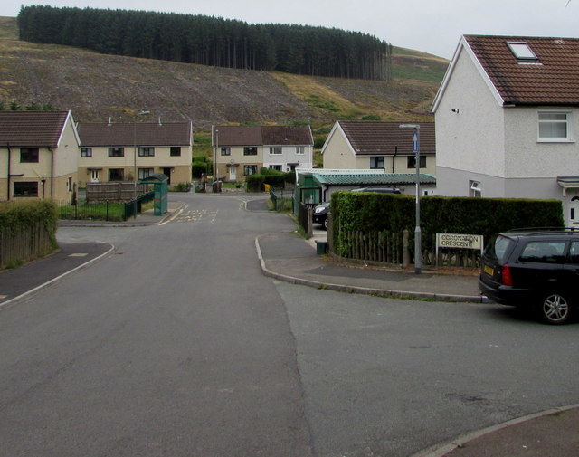
Image: © Jaggery Taken: 2 Aug 2018
Coronation Crescent from the right joins Heol Iago. The road named Glan-y-nant is in front of the houses behind the bus shelter. A local told me that the hillside trees formerly extended much lower down the slope.
Images are licensed for reuse under creativecommons.org/licenses/by-sa/2.0
Image Location
Latitude
51.737369
Longitude
-3.295349