Molly Road Lower approaching its junction with Finegans Road
Introduction
The photograph on this page of Molly Road Lower approaching its junction with Finegans Road by Eric Jones as part of the Geograph project.
The Geograph project started in 2005 with the aim of publishing, organising and preserving representative images for every square kilometre of Great Britain, Ireland and the Isle of Man.

There are currently over 7.5m images from over 14,400 individuals and you can help contribute to the project by visiting https://www.geograph.org.uk
Molly Road Lower approaching its junction with Finegans Road
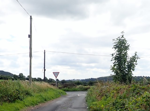
Image: © Eric Jones Taken: 9 Aug 2018
The junction is located on the west side of Jonesborough. Dundalk Bay can be seen in the background.
Images are licensed for reuse under creativecommons.org/licenses/by-sa/2.0
Image Location
Latitude
54.088442
Longitude
-6.378402