Virks Convenience Store
Introduction
The photograph on this page of Virks Convenience Store by John M as part of the Geograph project.
The Geograph project started in 2005 with the aim of publishing, organising and preserving representative images for every square kilometre of Great Britain, Ireland and the Isle of Man.

There are currently over 7.5m images from over 14,400 individuals and you can help contribute to the project by visiting https://www.geograph.org.uk
Virks Convenience Store
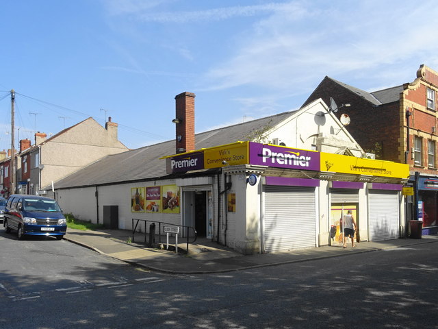
Image: © John M Taken: 7 Aug 2018
The building is Edwardian and would originally been in the red brick used on the other properties on Elmton Street. It struck me as I tried to buy a loaf and was offered a choice of a white sliced or nothing that these isolated old mining villages in the North Derbyshire and Nottinghamshire coalfields will take generations to change their dietary habits! The local pit closed over 25 years ago.
Images are licensed for reuse under creativecommons.org/licenses/by-sa/2.0
Image Location
Latitude
53.263554
Longitude
-1.213781