The Burton Arms
Introduction
The photograph on this page of The Burton Arms by David Dixon as part of the Geograph project.
The Geograph project started in 2005 with the aim of publishing, organising and preserving representative images for every square kilometre of Great Britain, Ireland and the Isle of Man.

There are currently over 7.5m images from over 14,400 individuals and you can help contribute to the project by visiting https://www.geograph.org.uk
The Burton Arms
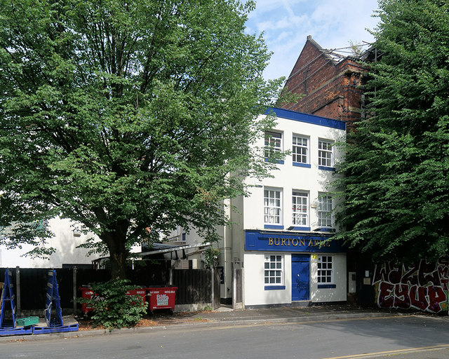
Image: © David Dixon Taken: 6 Aug 2018
The Burton Arms pub has entrances on both Swan Street and Foundry Lane (this view is from Foundry Lane). During the nineteenth century, it was bustling with workers from the former Smithfield Market although at that time the pub was known as "The John O'Groats House Public House".
Images are licensed for reuse under creativecommons.org/licenses/by-sa/2.0
Image Location
Latitude
53.485235
Longitude
-2.2346