Field near Flanders Farm
Introduction
The photograph on this page of Field near Flanders Farm by Bill Boaden as part of the Geograph project.
The Geograph project started in 2005 with the aim of publishing, organising and preserving representative images for every square kilometre of Great Britain, Ireland and the Isle of Man.

There are currently over 7.5m images from over 14,400 individuals and you can help contribute to the project by visiting https://www.geograph.org.uk
Field near Flanders Farm
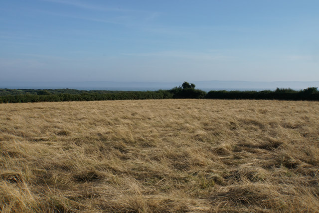
Image: © Bill Boaden Taken: 4 Aug 2018
Showing the effect of minimal rainfall. On the skyline is the profile of Exmoor, but sea mist is preventing the identification of coastal features (you can often see Minehead and Hinkley Point clearly).
Images are licensed for reuse under creativecommons.org/licenses/by-sa/2.0
Image Location
Latitude
51.404423
Longitude
-3.497116