London Road (B5087), Alderley Edge
Introduction
The photograph on this page of London Road (B5087), Alderley Edge by G Laird as part of the Geograph project.
The Geograph project started in 2005 with the aim of publishing, organising and preserving representative images for every square kilometre of Great Britain, Ireland and the Isle of Man.

There are currently over 7.5m images from over 14,400 individuals and you can help contribute to the project by visiting https://www.geograph.org.uk
London Road (B5087), Alderley Edge
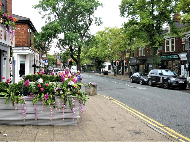
Image: © G Laird Taken: 6 Aug 2018
Alderley Edge is an attractive village about 15 miles south of Manchester. On some older OS maps, London Road is marked as the A34 but has now been renamed the B5087 after the A34 bypass was officially opened on Friday 19th November 2010.
Images are licensed for reuse under creativecommons.org/licenses/by-sa/2.0
Image Location
Latitude
53.301146
Longitude
-2.236289