Elland Co-op
Introduction
The photograph on this page of Elland Co-op by Humphrey Bolton as part of the Geograph project.
The Geograph project started in 2005 with the aim of publishing, organising and preserving representative images for every square kilometre of Great Britain, Ireland and the Isle of Man.

There are currently over 7.5m images from over 14,400 individuals and you can help contribute to the project by visiting https://www.geograph.org.uk
Elland Co-op
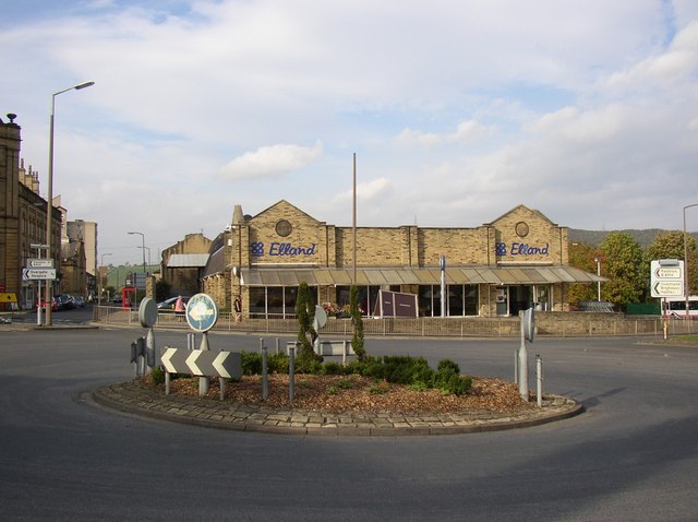
Image: © Humphrey Bolton Taken: 15 Oct 2007
This is on the site of a Victorian school, the circular datestones of which are set into the wall: 1877 on the left and AD on the right. The roundabout is at the southern end of the inner bypass road, where it meets Huddersfield Road and Southgate.
Images are licensed for reuse under creativecommons.org/licenses/by-sa/2.0
Image Location
Latitude
53.683544
Longitude
-1.83493