Path to Fletton Road, Norton
Introduction
The photograph on this page of Path to Fletton Road, Norton by Christine Johnstone as part of the Geograph project.
The Geograph project started in 2005 with the aim of publishing, organising and preserving representative images for every square kilometre of Great Britain, Ireland and the Isle of Man.

There are currently over 7.5m images from over 14,400 individuals and you can help contribute to the project by visiting https://www.geograph.org.uk
Path to Fletton Road, Norton
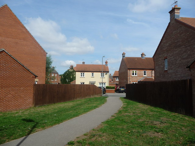
Image: © Christine Johnstone Taken: 4 Aug 2018
A new housing development between Scarborough Road and Westfield Way.
Images are licensed for reuse under creativecommons.org/licenses/by-sa/2.0
Image Location
Latitude
54.133917
Longitude
-0.774976