Duffus Kirk
Introduction
The photograph on this page of Duffus Kirk by Mary and Angus Hogg as part of the Geograph project.
The Geograph project started in 2005 with the aim of publishing, organising and preserving representative images for every square kilometre of Great Britain, Ireland and the Isle of Man.

There are currently over 7.5m images from over 14,400 individuals and you can help contribute to the project by visiting https://www.geograph.org.uk
Duffus Kirk
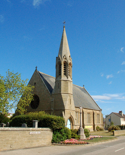
Image: © Mary and Angus Hogg Taken: 2 Aug 2018
The church serves the parish of Duffus, Spynie and Hopeman. The village war memorial stands beside it in the foreground of this shot.
Images are licensed for reuse under creativecommons.org/licenses/by-sa/2.0
Image Location
Latitude
57.699404
Longitude
-3.396897