Dallington village green, Northampton
Introduction
The photograph on this page of Dallington village green, Northampton by Malc McDonald as part of the Geograph project.
The Geograph project started in 2005 with the aim of publishing, organising and preserving representative images for every square kilometre of Great Britain, Ireland and the Isle of Man.

There are currently over 7.5m images from over 14,400 individuals and you can help contribute to the project by visiting https://www.geograph.org.uk
Dallington village green, Northampton
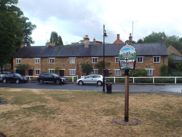
Image: © Malc McDonald Taken: 28 Jul 2018
The village sign on the green at Dallington. Dallington is now part of Northampton, having been absorbed into the town as Northampton expanded. National Cycle Network route 6 passes through Dallington as it makes its way through Northampton.
Images are licensed for reuse under creativecommons.org/licenses/by-sa/2.0
Image Location
Latitude
52.250254
Longitude
-0.920974