Crossing Point
Introduction
The photograph on this page of Crossing Point by D M Wilmot as part of the Geograph project.
The Geograph project started in 2005 with the aim of publishing, organising and preserving representative images for every square kilometre of Great Britain, Ireland and the Isle of Man.

There are currently over 7.5m images from over 14,400 individuals and you can help contribute to the project by visiting https://www.geograph.org.uk
Crossing Point
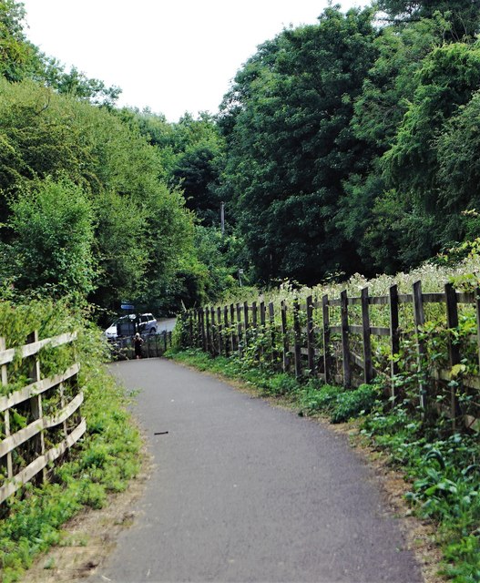
Image: © D M Wilmot Taken: 2 Aug 2018
View from part of the cycle path between Midsomer Norton and Radstock, B & N E S. Of the crossing point at Welton Hollow, on the A362 Somervale Road/ Radstock Road. Where the fifth arch of the famous SDJR 'Five Arch' railway viaduct was located. The slope down to the road is copied by a slope up in trees on the other side. Cycle path runs parallel at times on former SDJR Radstock-Midsomer Norton section.
Images are licensed for reuse under creativecommons.org/licenses/by-sa/2.0
Image Location
Latitude
51.290697
Longitude
-2.462722