Leicester Marathon
Introduction
The photograph on this page of Leicester Marathon by Stephen McKay as part of the Geograph project.
The Geograph project started in 2005 with the aim of publishing, organising and preserving representative images for every square kilometre of Great Britain, Ireland and the Isle of Man.

There are currently over 7.5m images from over 14,400 individuals and you can help contribute to the project by visiting https://www.geograph.org.uk
Leicester Marathon
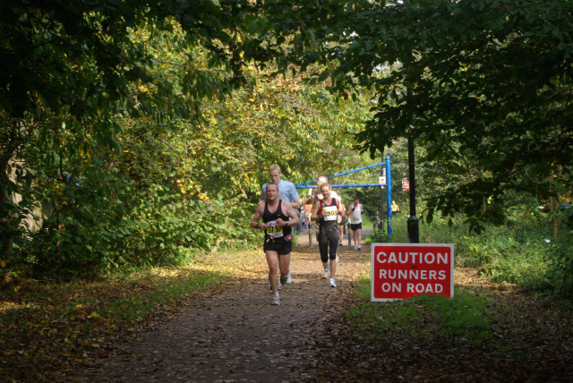
Image: © Stephen McKay Taken: 14 Oct 2007
Competitors head south along the Great Central Way in the latter stages of a full marathon; the cycleway was not closed to other users, so the runners had to dodge walkers, cyclists and the occasional dog.
Images are licensed for reuse under creativecommons.org/licenses/by-sa/2.0
Image Location


Leaflet Map data © OpenStreetMap
Latitude
52.617147
Longitude
-1.152442