Potato Field by St Cyrus
Introduction
The photograph on this page of Potato Field by St Cyrus by Andrew Wood as part of the Geograph project.
The Geograph project started in 2005 with the aim of publishing, organising and preserving representative images for every square kilometre of Great Britain, Ireland and the Isle of Man.

There are currently over 7.5m images from over 14,400 individuals and you can help contribute to the project by visiting https://www.geograph.org.uk
Potato Field by St Cyrus
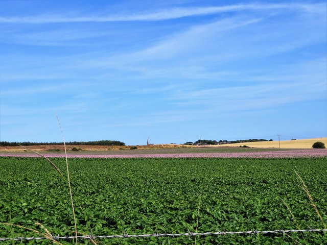
Image: © Andrew Wood Taken: 2 Aug 2018
A potato field to the south of St. Cyrus village. Some of the crop is still in flower and on the skyline can be seen the steeple of St. Cyrus church.
Images are licensed for reuse under creativecommons.org/licenses/by-sa/2.0
Image Location
Latitude
56.772667
Longitude
-2.43683