School House
Introduction
The photograph on this page of School House by Oliver Dixon as part of the Geograph project.
The Geograph project started in 2005 with the aim of publishing, organising and preserving representative images for every square kilometre of Great Britain, Ireland and the Isle of Man.

There are currently over 7.5m images from over 14,400 individuals and you can help contribute to the project by visiting https://www.geograph.org.uk
School House
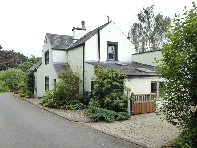
Image: © Oliver Dixon Taken: 1 Aug 2018
Near Sowerby Road. It must be many years since this functioned as a school in such a remote area.
Images are licensed for reuse under creativecommons.org/licenses/by-sa/2.0
Image Location
Latitude
54.748448
Longitude
-2.948716