River Colne alongside Cricketfield Road
Introduction
The photograph on this page of River Colne alongside Cricketfield Road by Marathon as part of the Geograph project.
The Geograph project started in 2005 with the aim of publishing, organising and preserving representative images for every square kilometre of Great Britain, Ireland and the Isle of Man.

There are currently over 7.5m images from over 14,400 individuals and you can help contribute to the project by visiting https://www.geograph.org.uk
River Colne alongside Cricketfield Road
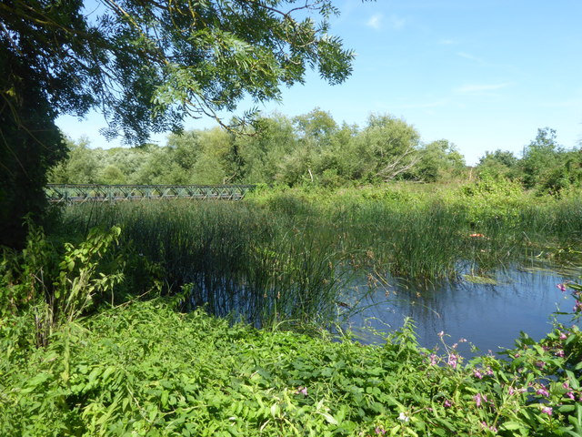
Image: © Marathon Taken: 1 Aug 2018
The River Colne is one of the best chalk rivers in Greater London which means it is very clean. It rises in North Mimms Park in Hertfordshire and it flows into the River Thames near Staines. Its basin extends well into the Chiltern Hills thanks to a number of tributaries while to the north its drainage basin is separated from the River Great Ouse which flows into The Wash. For more information on the River Colne see https://en.wikipedia.org/wiki/River_Colne,_Hertfordshire This is the view of the bailey bridge which carries Cricketfield Road over the river
Images are licensed for reuse under creativecommons.org/licenses/by-sa/2.0
Image Location
Latitude
51.499248
Longitude
-0.484986