Barley: historic houses
Introduction
The photograph on this page of Barley: historic houses by John Sutton as part of the Geograph project.
The Geograph project started in 2005 with the aim of publishing, organising and preserving representative images for every square kilometre of Great Britain, Ireland and the Isle of Man.

There are currently over 7.5m images from over 14,400 individuals and you can help contribute to the project by visiting https://www.geograph.org.uk
Barley: historic houses
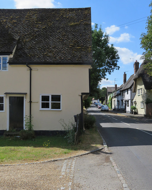
Image: © John Sutton Taken: 1 Aug 2018
High Street is rich in Grade II listed timber-framed houses. The nearest, Lower Farm House, dates from c 1500, but has been much altered in the succeeding centuries.
Images are licensed for reuse under creativecommons.org/licenses/by-sa/2.0
Image Location
Latitude
52.028435
Longitude
0.038365