Piccadilly Mill
Introduction
The photograph on this page of Piccadilly Mill by Philip Halling as part of the Geograph project.
The Geograph project started in 2005 with the aim of publishing, organising and preserving representative images for every square kilometre of Great Britain, Ireland and the Isle of Man.

There are currently over 7.5m images from over 14,400 individuals and you can help contribute to the project by visiting https://www.geograph.org.uk
Piccadilly Mill
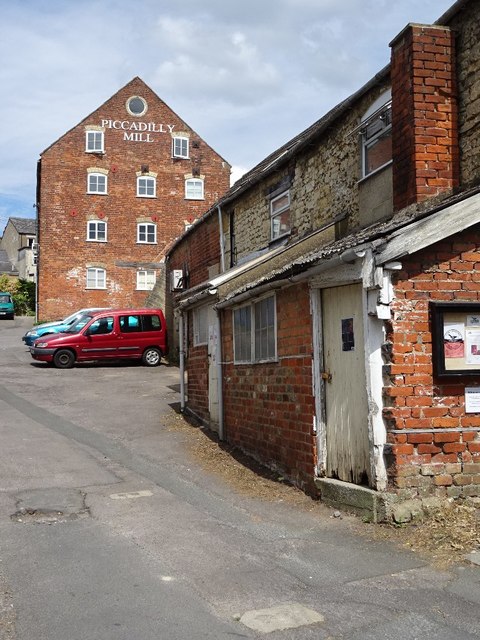
Image: © Philip Halling Taken: 27 Jul 2018
Piccadilly Mill viewed from Lower Street, a former mill dating from the 19th century. The mill is Grade II listed, see: https://historicengland.org.uk/listing/the-list/list-entry/1262157
Images are licensed for reuse under creativecommons.org/licenses/by-sa/2.0
Image Location
Latitude
51.743513
Longitude
-2.210253