Village Tap
Introduction
The photograph on this page of Village Tap by Bob Harvey as part of the Geograph project.
The Geograph project started in 2005 with the aim of publishing, organising and preserving representative images for every square kilometre of Great Britain, Ireland and the Isle of Man.

There are currently over 7.5m images from over 14,400 individuals and you can help contribute to the project by visiting https://www.geograph.org.uk
Village Tap
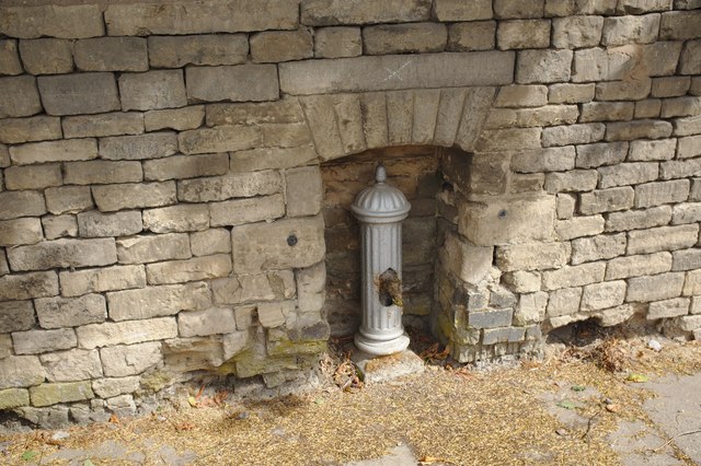
Image: © Bob Harvey Taken: 28 Jul 2018
Often mis-described as a pump, this was a tap or water pillar erected in the late 19th Century, and shared by the village.
Images are licensed for reuse under creativecommons.org/licenses/by-sa/2.0
Image Location
Latitude
52.820756
Longitude
-0.54792