Tregarth Court, Creigiau
Introduction
The photograph on this page of Tregarth Court, Creigiau by Jaggery as part of the Geograph project.
The Geograph project started in 2005 with the aim of publishing, organising and preserving representative images for every square kilometre of Great Britain, Ireland and the Isle of Man.

There are currently over 7.5m images from over 14,400 individuals and you can help contribute to the project by visiting https://www.geograph.org.uk
Tregarth Court, Creigiau
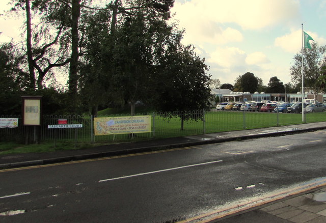
Image: © Jaggery Taken: 13 Sep 2017
The eastern end of the cul-de-sac Tregarth Court viewed from the corner of Tynant Road. Creigiau Primary School is on the right.
Images are licensed for reuse under creativecommons.org/licenses/by-sa/2.0
Image Location
Latitude
51.525147
Longitude
-3.328957