Cycleway in High Heworth
Introduction
The photograph on this page of Cycleway in High Heworth by Oliver Dixon as part of the Geograph project.
The Geograph project started in 2005 with the aim of publishing, organising and preserving representative images for every square kilometre of Great Britain, Ireland and the Isle of Man.

There are currently over 7.5m images from over 14,400 individuals and you can help contribute to the project by visiting https://www.geograph.org.uk
Cycleway in High Heworth
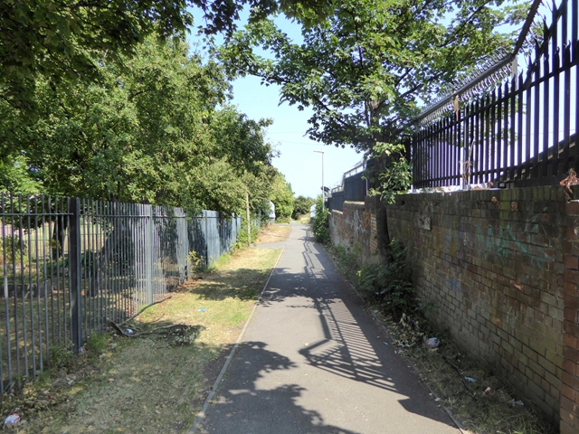
Image: © Oliver Dixon Taken: 26 Jul 2018
Following an old railway line, this length of cycleway is signed as "East Gateshead Cycleway" at the south-west end, but as "The Angel Cycleway" at the north-east end.
Images are licensed for reuse under creativecommons.org/licenses/by-sa/2.0
Image Location
Latitude
54.943741
Longitude
-1.553823