The edge of Raskelf village
Introduction
The photograph on this page of The edge of Raskelf village by Gordon Hatton as part of the Geograph project.
The Geograph project started in 2005 with the aim of publishing, organising and preserving representative images for every square kilometre of Great Britain, Ireland and the Isle of Man.

There are currently over 7.5m images from over 14,400 individuals and you can help contribute to the project by visiting https://www.geograph.org.uk
The edge of Raskelf village
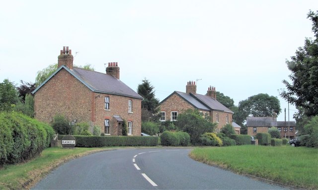
Image: © Gordon Hatton Taken: 27 Jul 2018
The first houses of Raskelf village as seen from Hag Lane. Raskelf is a village of two parts, there is this lower section, known as The Green, but the main spine of the village is along a low ridge running north east from the church. Some recent development links the two.
Images are licensed for reuse under creativecommons.org/licenses/by-sa/2.0
Image Location
Latitude
54.128366
Longitude
-1.248462