Vicarage Path and drive to Albert Mansions
Introduction
The photograph on this page of Vicarage Path and drive to Albert Mansions by Robin Webster as part of the Geograph project.
The Geograph project started in 2005 with the aim of publishing, organising and preserving representative images for every square kilometre of Great Britain, Ireland and the Isle of Man.

There are currently over 7.5m images from over 14,400 individuals and you can help contribute to the project by visiting https://www.geograph.org.uk
Vicarage Path and drive to Albert Mansions
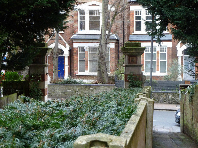
Image: © Robin Webster Taken: 22 Jan 2011
The drive is on the left, hidden by the hedge, but the gate posts may be seen, less gates. The drive predated the late Victorian Albert Mansions (unusually dated 'AD 96'), it then served the big house 'Oakfield', now gone.
Images are licensed for reuse under creativecommons.org/licenses/by-sa/2.0
Image Location
Latitude
51.574837
Longitude
-0.121837