Junction of the B4257 and Heol Evan Wynne, Pontlottyn
Introduction
The photograph on this page of Junction of the B4257 and Heol Evan Wynne, Pontlottyn by Jaggery as part of the Geograph project.
The Geograph project started in 2005 with the aim of publishing, organising and preserving representative images for every square kilometre of Great Britain, Ireland and the Isle of Man.

There are currently over 7.5m images from over 14,400 individuals and you can help contribute to the project by visiting https://www.geograph.org.uk
Junction of the B4257 and Heol Evan Wynne, Pontlottyn
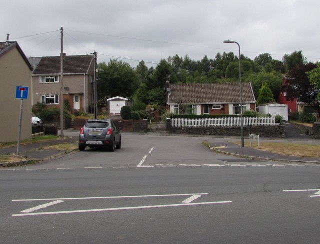
Image: © Jaggery Taken: 27 Jul 2018
Looking across the B4257 towards the eastern, dead-end, part of Heol Evan Wynne. The western part of Heol Evan Wynne extends from the A469 to Hill Road.
Images are licensed for reuse under creativecommons.org/licenses/by-sa/2.0
Image Location
Latitude
51.74868
Longitude
-3.280607