Maelor Way, through a field of maize
Introduction
The photograph on this page of Maelor Way, through a field of maize by Eirian Evans as part of the Geograph project.
The Geograph project started in 2005 with the aim of publishing, organising and preserving representative images for every square kilometre of Great Britain, Ireland and the Isle of Man.

There are currently over 7.5m images from over 14,400 individuals and you can help contribute to the project by visiting https://www.geograph.org.uk
Maelor Way, through a field of maize
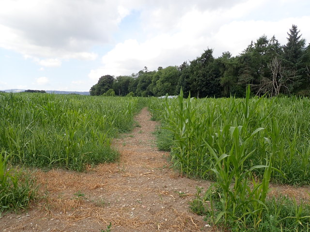
Image: © Eirian Evans Taken: 19 Jul 2018
The Way links the Sandstone Trail, South Cheshire Way, Marches Way and Shropshire Way at Grindley Brook, to the Offa's Dyke Path National Trail at Chirk. It crosses farmland to Hanmer Mere and Overton, then follows woodland trails alongside the Rivers Dee and Ceiriog to Chirk. The Maelor Way uses public footpaths, bridleways, quiet lanes and canal towpath to pass from Grindley Brook through unspoiled undulating countryside to Bronygarth in the shadow of Chirk Castle.
Images are licensed for reuse under creativecommons.org/licenses/by-sa/2.0
Image Location
Latitude
52.930813
Longitude
-3.02765