West side of Pontlottyn Empire Club, Pontlottyn
Introduction
The photograph on this page of West side of Pontlottyn Empire Club, Pontlottyn by Jaggery as part of the Geograph project.
The Geograph project started in 2005 with the aim of publishing, organising and preserving representative images for every square kilometre of Great Britain, Ireland and the Isle of Man.

There are currently over 7.5m images from over 14,400 individuals and you can help contribute to the project by visiting https://www.geograph.org.uk
West side of Pontlottyn Empire Club, Pontlottyn
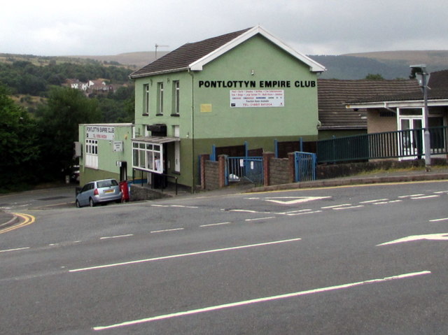
Image: © Jaggery Taken: 27 Jul 2018
Viewed across the A469 Merchant Street.
Images are licensed for reuse under creativecommons.org/licenses/by-sa/2.0
Image Location
Latitude
51.746704
Longitude
-3.280406