Whitchurch Road, Heath
Introduction
The photograph on this page of Whitchurch Road, Heath by Derek Harper as part of the Geograph project.
The Geograph project started in 2005 with the aim of publishing, organising and preserving representative images for every square kilometre of Great Britain, Ireland and the Isle of Man.

There are currently over 7.5m images from over 14,400 individuals and you can help contribute to the project by visiting https://www.geograph.org.uk
Whitchurch Road, Heath
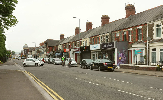
Image: © Derek Harper Taken: 16 Jun 2018
The A469 passing the junction with Crown Way (left). The parish boundary between Cathays (left) and Gabalfa turns left down Crown Way after following the main road past the camera. The Heath Evangelical Church about 230 metres down the road was completed in 1906.
Images are licensed for reuse under creativecommons.org/licenses/by-sa/2.0
Image Location
Latitude
51.500149
Longitude
-3.186465