Hooley Drive
Introduction
The photograph on this page of Hooley Drive by terry joyce as part of the Geograph project.
The Geograph project started in 2005 with the aim of publishing, organising and preserving representative images for every square kilometre of Great Britain, Ireland and the Isle of Man.

There are currently over 7.5m images from over 14,400 individuals and you can help contribute to the project by visiting https://www.geograph.org.uk
Hooley Drive
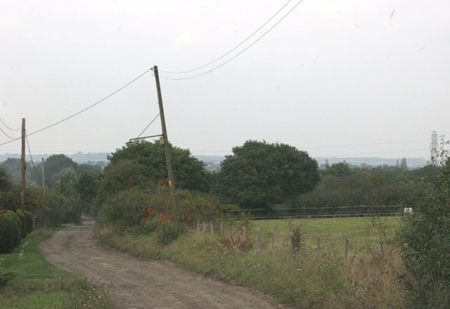
Image: © terry joyce Taken: 15 Oct 2007
This pretty unmade road joins Parkhurst Road in Grid Image The high ground at the top of the photo is South Woodham Ferrers on the north side of the River Crouch.
Images are licensed for reuse under creativecommons.org/licenses/by-sa/2.0
Image Location
Latitude
51.604335
Longitude
0.599298