The Vale
Introduction
The photograph on this page of The Vale by David Lally as part of the Geograph project.
The Geograph project started in 2005 with the aim of publishing, organising and preserving representative images for every square kilometre of Great Britain, Ireland and the Isle of Man.

There are currently over 7.5m images from over 14,400 individuals and you can help contribute to the project by visiting https://www.geograph.org.uk
The Vale
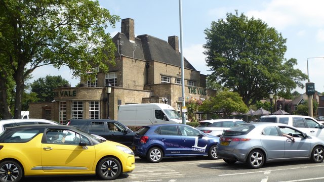
Image: © David Lally Taken: 12 Jul 2018
Former Home Ales pub. Situated at a busy junction on the A60, as you can see. The building is Grade II listed: List entry Number: 1255455 https://www.historicengland.org.uk/listing/the-list/list-entry/1255455
Images are licensed for reuse under creativecommons.org/licenses/by-sa/2.0
Image Location
Latitude
52.993448
Longitude
-1.138689