Benchmark on boundary stone beside Rochdale Road
Introduction
The photograph on this page of Benchmark on boundary stone beside Rochdale Road by Roger Templeman as part of the Geograph project.
The Geograph project started in 2005 with the aim of publishing, organising and preserving representative images for every square kilometre of Great Britain, Ireland and the Isle of Man.

There are currently over 7.5m images from over 14,400 individuals and you can help contribute to the project by visiting https://www.geograph.org.uk
Benchmark on boundary stone beside Rochdale Road
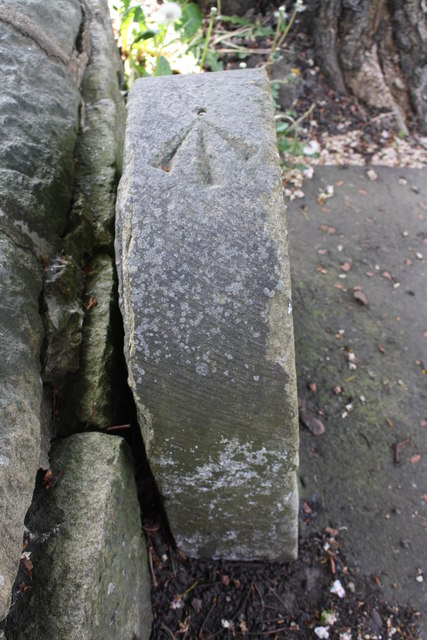
Image: © Roger Templeman Taken: 23 May 2018
Ordnance Survey rivet benchmark shown on the 1962 Map at a height of 514.57m above Newlyn Datum
Images are licensed for reuse under creativecommons.org/licenses/by-sa/2.0
Image Location
Latitude
53.715631
Longitude
-1.899095