Siding NW of Bargoed railway station
Introduction
The photograph on this page of Siding NW of Bargoed railway station by Jaggery as part of the Geograph project.
The Geograph project started in 2005 with the aim of publishing, organising and preserving representative images for every square kilometre of Great Britain, Ireland and the Isle of Man.

There are currently over 7.5m images from over 14,400 individuals and you can help contribute to the project by visiting https://www.geograph.org.uk
Siding NW of Bargoed railway station
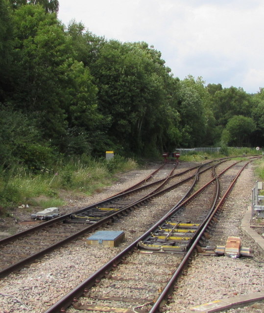
Image: © Jaggery Taken: 12 Jul 2018
A short length of track leads to buffer stops alongside the Rhymney branch of the Valley Lines network.
Images are licensed for reuse under creativecommons.org/licenses/by-sa/2.0
Image Location
Latitude
51.693376
Longitude
-3.230721