Lower Venn Farm (Bodenham)
Introduction
The photograph on this page of Lower Venn Farm (Bodenham) by Fabian Musto as part of the Geograph project.
The Geograph project started in 2005 with the aim of publishing, organising and preserving representative images for every square kilometre of Great Britain, Ireland and the Isle of Man.

There are currently over 7.5m images from over 14,400 individuals and you can help contribute to the project by visiting https://www.geograph.org.uk
Lower Venn Farm (Bodenham)
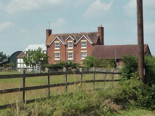
Image: © Fabian Musto Taken: 6 Jul 2018
Technically not in Bodenham, but on the outskirts. This imposing farm is seen from a nearby road lane.
Images are licensed for reuse under creativecommons.org/licenses/by-sa/2.0
Image Location
Latitude
52.137398
Longitude
-2.668844