Balaclava Road, Roath
Introduction
The photograph on this page of Balaclava Road, Roath by Derek Harper as part of the Geograph project.
The Geograph project started in 2005 with the aim of publishing, organising and preserving representative images for every square kilometre of Great Britain, Ireland and the Isle of Man.

There are currently over 7.5m images from over 14,400 individuals and you can help contribute to the project by visiting https://www.geograph.org.uk
Balaclava Road, Roath
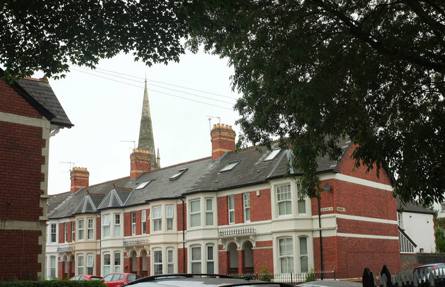
Image: © Derek Harper Taken: 16 Jun 2018
Seen from an entrance to Roath Mill Gardens. Over the roofs is the spire of St Andrew's United Reformed Church Image http://ishare.cardiff.gov.uk/Projects/Cadw/CardiffListedBuildings/13753.pdf .
Images are licensed for reuse under creativecommons.org/licenses/by-sa/2.0
Image Location
Latitude
51.496424
Longitude
-3.163319