Cycle route 88, Ailesbury Street, Newport
Introduction
The photograph on this page of Cycle route 88, Ailesbury Street, Newport by Jaggery as part of the Geograph project.
The Geograph project started in 2005 with the aim of publishing, organising and preserving representative images for every square kilometre of Great Britain, Ireland and the Isle of Man.

There are currently over 7.5m images from over 14,400 individuals and you can help contribute to the project by visiting https://www.geograph.org.uk
Cycle route 88, Ailesbury Street, Newport
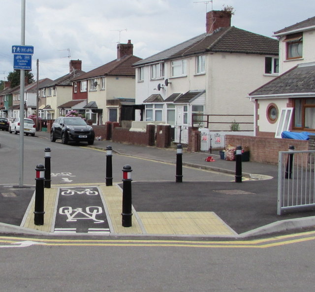
Image: © Jaggery Taken: 17 Jul 2018
National Cycle Network Route 88 is a proposed mainly coastal route from Newport to Margam Country Park via Cardiff and Bridgend. In July 2018, only short sections of the route are open. This section is in the Crindau area of Newport.
Images are licensed for reuse under creativecommons.org/licenses/by-sa/2.0
Image Location
Latitude
51.599475
Longitude
-2.996736