Grass area
Introduction
The photograph on this page of Grass area by Bill Nicholls as part of the Geograph project.
The Geograph project started in 2005 with the aim of publishing, organising and preserving representative images for every square kilometre of Great Britain, Ireland and the Isle of Man.

There are currently over 7.5m images from over 14,400 individuals and you can help contribute to the project by visiting https://www.geograph.org.uk
Grass area
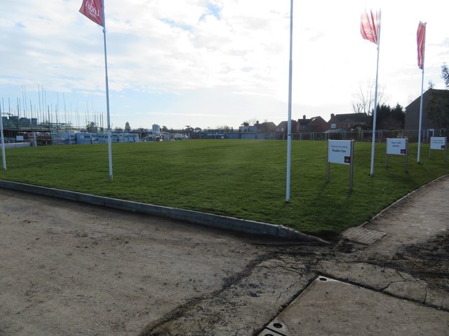
Image: © Bill Nicholls Taken: 17 Feb 2018
The grass area covers the Roman Villa or farm that was found here and excavated, part of it is under the houses to the right and most likely damaged during the building of them back in the 1960's. I wonder what else is there
Images are licensed for reuse under creativecommons.org/licenses/by-sa/2.0
Image Location
Latitude
51.5705
Longitude
-1.148379