Farmland and lane southeast of Hennock
Introduction
The photograph on this page of Farmland and lane southeast of Hennock by Derek Harper as part of the Geograph project.
The Geograph project started in 2005 with the aim of publishing, organising and preserving representative images for every square kilometre of Great Britain, Ireland and the Isle of Man.

There are currently over 7.5m images from over 14,400 individuals and you can help contribute to the project by visiting https://www.geograph.org.uk
Farmland and lane southeast of Hennock
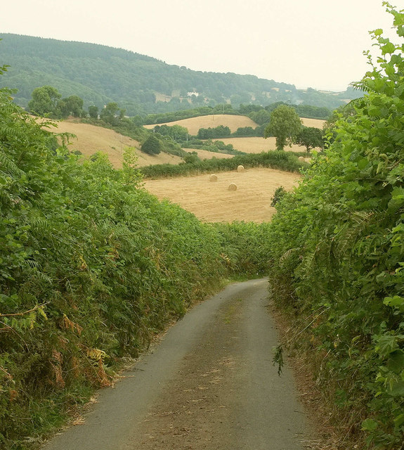
Image: © Derek Harper Taken: 12 Jul 2018
The lane is dropping from Huish Cross to Trusham Quarry. In the distance is the white of Canonteign House.
Images are licensed for reuse under creativecommons.org/licenses/by-sa/2.0
Image Location
Latitude
50.611149
Longitude
-3.638426