Round cairn near Corwall
Introduction
The photograph on this page of Round cairn near Corwall by David Baird as part of the Geograph project.
The Geograph project started in 2005 with the aim of publishing, organising and preserving representative images for every square kilometre of Great Britain, Ireland and the Isle of Man.

There are currently over 7.5m images from over 14,400 individuals and you can help contribute to the project by visiting https://www.geograph.org.uk
Round cairn near Corwall
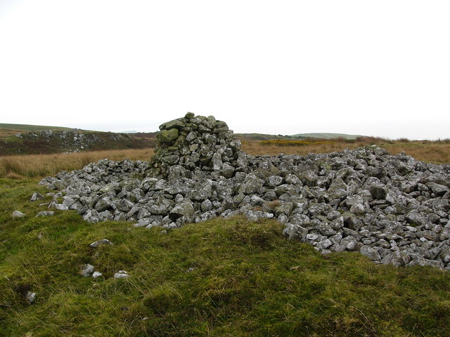
Image: © David Baird Taken: 14 Oct 2007
This looks like a bronze age burial cairn, although the centre has been cleared out at some point. The built-up cairn in the middle is a more recent structure.
Images are licensed for reuse under creativecommons.org/licenses/by-sa/2.0
Image Location


Leaflet Map data © OpenStreetMap
Latitude
54.80673
Longitude
-4.665296