1849 tablet on the wall of Bethel Methodist Church, Garndiffaith
Introduction
The photograph on this page of 1849 tablet on the wall of Bethel Methodist Church, Garndiffaith by Jaggery as part of the Geograph project.
The Geograph project started in 2005 with the aim of publishing, organising and preserving representative images for every square kilometre of Great Britain, Ireland and the Isle of Man.

There are currently over 7.5m images from over 14,400 individuals and you can help contribute to the project by visiting https://www.geograph.org.uk
1849 tablet on the wall of Bethel Methodist Church, Garndiffaith
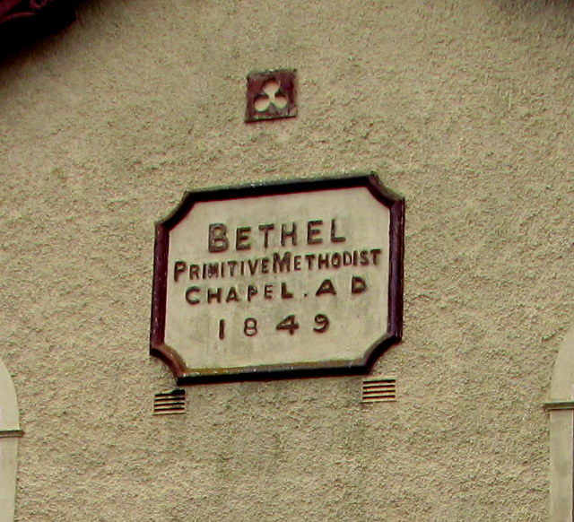
Image: © Jaggery Taken: 16 Jul 2018
The tablet on the wall here https://www.geograph.org.uk/photo/5844207 shows that the church was Bethel Primitive Methodist Chapel when built in 1849. In 2018 it is Bethel Methodist Church. https://www.geograph.org.uk/photo/5844223
Images are licensed for reuse under creativecommons.org/licenses/by-sa/2.0
Image Location
Latitude
51.73703
Longitude
-3.069998